Free download TopoLT

TopoLT

10.4
Currently, the license distribution is and provided by CADWARE Engineering, while the producer 3D
Free Download
User rating
7.1/10
7 votes
License
Shareware
OS
Windows
Developer
CADWARE Engineering
Version
10.4
Language
English
Release date
24 April 2012

Editor's review

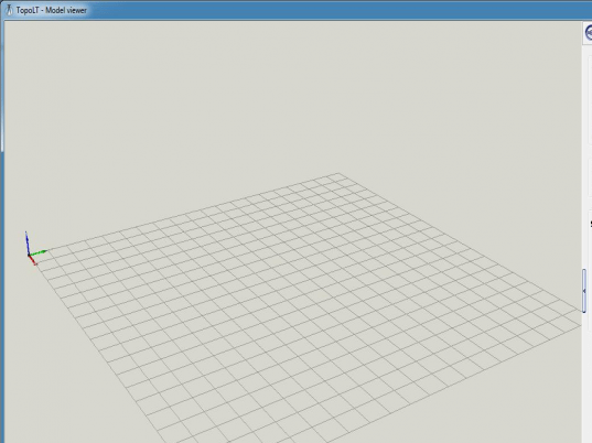
TopoLT 7.5 is an effective tool designing 2D and 3D applications that helps you in performing varied functions, which includes, developing volume calculation, laying out plans, 3D models, maps, and so on. The program runs under IntelliCAD or AutoCAD and proves to be beneficial in dealing with designing digital format cadastral or topographical plans. It presents a credible compilation of myriad of features, such as Polar points calculation; 3D models creation; cut and join 3D; draw points; point code for joining points; render 3D files and 3D entities; transform, edit, resize, and conversion of raster image; insert symbols; draw graticule; and many more to work with. You can easily create fantastic images and 3D models for your buildings, home, etc.

With the TopoLT 7.5 a 3D model can be created for contour and field level designing, and it also facilitates in carrying out volumes calculation without restrictions. In addition to editing and cutting tasks, the application shows great potential in projecting the 2D entities on 3D model vertically for section lines. Moreover, through real time rendering you can visualize the drawing entities, three dimensionally. Even, while creating 3D models, AVI files and images can be formed from the moving three dimensional objects, for better presentation. Further, the application also presents customization features for 3D objects for changing the texture, background color, etc. Besides these, it let you create drawings with area calculations, numbered plans layouts, and supports various other features relating these. Along with the mentioned ones the program comprises different other options that can be altered as per your preference.

TopoLT 7.5 lends proficient help in 3D model creation, and consists of several customization features to give desired appearance to the created model. The program is rated at 4 points, considering its negotiable set of features and impeccable performance in carrying out varied functions relating to 3D model formation.

Publisher's description

Main features of TopoLT:
* draws directly points from coordinate files, draws coordinates from total station or sends coordinates from drawing directly to total station;
* point codes are translated according to a codes interpretation file defined by the user;
* points can be graphically drawn with or without elevations, elevations can be also obtained through interpolation;
* coordinates of sightshot points (polar points) can be calculated including the possibility to import measurements from the majority of existing total stations;
* measurements can be received from an instrument through serial port;
* points can be selected based on code and point codes can be modified;
* point coordinates can be extracted from drawing and saved in different formats, including formats defined at instruments (total stations) or in formats defined by user;
* coordinates tables for selected points can be created, including a separate table for station points;
* 3D model of the terrain and contour lines can be generated, volumes can be calculated without any restrictions (the volume obtained by intersecting a 3D surface with a plane or the volume between two 3D surfaces of any grid form or triangles);
* 3D models can be cut or joined;
* entities from a drawing with can be visualized in 3D with real time rendering, AVI movies can be saved with moving three-dimensional objects;
* raster image can be transformed in order to achieve correlation with the coordinates system of the plan and raster images can be both cut and framed at the same time with the process of transformation, raster images can be saved in different formats, colors format can be changed;
*areas can be detached using usual methods from cadastre such as parallel, parallel to one direction, perpendicular, proportional, through an obliged point and with obliged opening;
*the grid can be automaticaly drawn;
*draw polygons, paths or points in Google Earth using software TransLT 2.0.
TopoLT
TopoLT
Version 10.4
Free Download

User comments

Rate this program